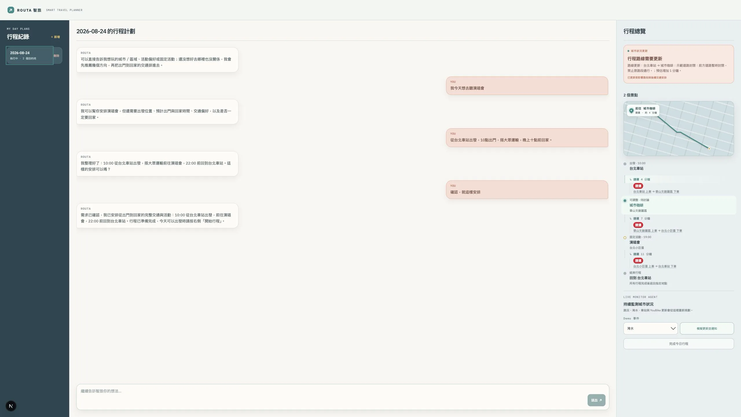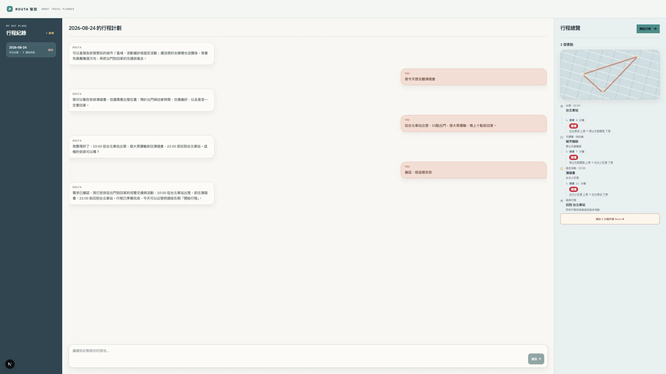
System scope
- Creates one-day itineraries in natural language, supporting walking, cycling, driving, and public transit.
- After an itinerary starts, receives flooding, road-closure, station/MRT disruption, or unavailable-YouBike events, identifies affected route segments, and replans routes.
- Can connect Google Routes, TDX, the Central Weather Administration, and city event data, with a deterministic route provider for local development and verification.
Contributions and outcomes
- Built the end-to-end flow for conversational itinerary planning, itinerary confirmation, route creation, event injection, risk assessment, and replanning.
- Separated the planner from external route providers so core event handling can be reproduced and tested without calling paid APIs.
- Uses SQLite to store local itinerary snapshots and route updates, supporting reloads and state tracking.
Screenshot provenance: The original project, run locally with mock data, creating an itinerary and simulating a road closure and route update.